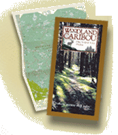
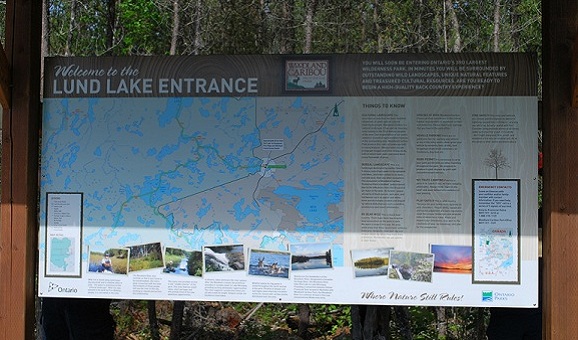
When planning a trip into Woodland Caribou Provincial Park, you’ll need to familiarize yourself with the different maps needed for safe navigation of our wilderness area. There are 2 types of maps recommended for paddlers.
Official Park Planning/Canoe Route Map: This map is water and tear resistant and features rich color, as well as having all park portages and access points listed. This map is essential in getting a good overview of the park and determining route options. If you’re in the early stages of planning a trip, this should be your first stop. 
Topographic Maps: These 1:50, 000 scale government issued topo maps are used for navigating the waterways of the park. Rich in detail, they are essential for safe travel in the park. Due to the size of the park, and the scale of the maps, there are 11 different maps to choose from. Once you’ve narrowed down your route, give us a call or drop us and email using the Contact Us page and we’ll send you out the maps needed for your adventure. The maps that cover the park are:
- 52M/8 – Bigshell Lake
- 52M/7 – Sabourin Lake
- 52M/2 – Murdock Lake
- 52M/3 – Aikens Lake
- 52M/6 – Artery Lake
- 52M/1 – Pipestone Bay
- 52L/16 – Medicine Stone Lake
- 52L/15 – Rostoul Lake
- 52L/14 – Garner Lake
- 52L/10 – Dowswell Lake
- 52L/9 – Sydney Lake


